Showing posts with label GIS. Show all posts

Saturday, April 7, 2018

Legacy Assignment: We're almost done with the SBU Cemetery Project

Spring in Western New York has not been kind.  In the digital history and archives class we've been waiting for a break to get to the cemetery.  Starting in 2014, students in each version of the class has contributed to our ongoing project to build a digital map of the cemetery creating a "living obituary" with a digital map.  We're nearing the end of the project. 

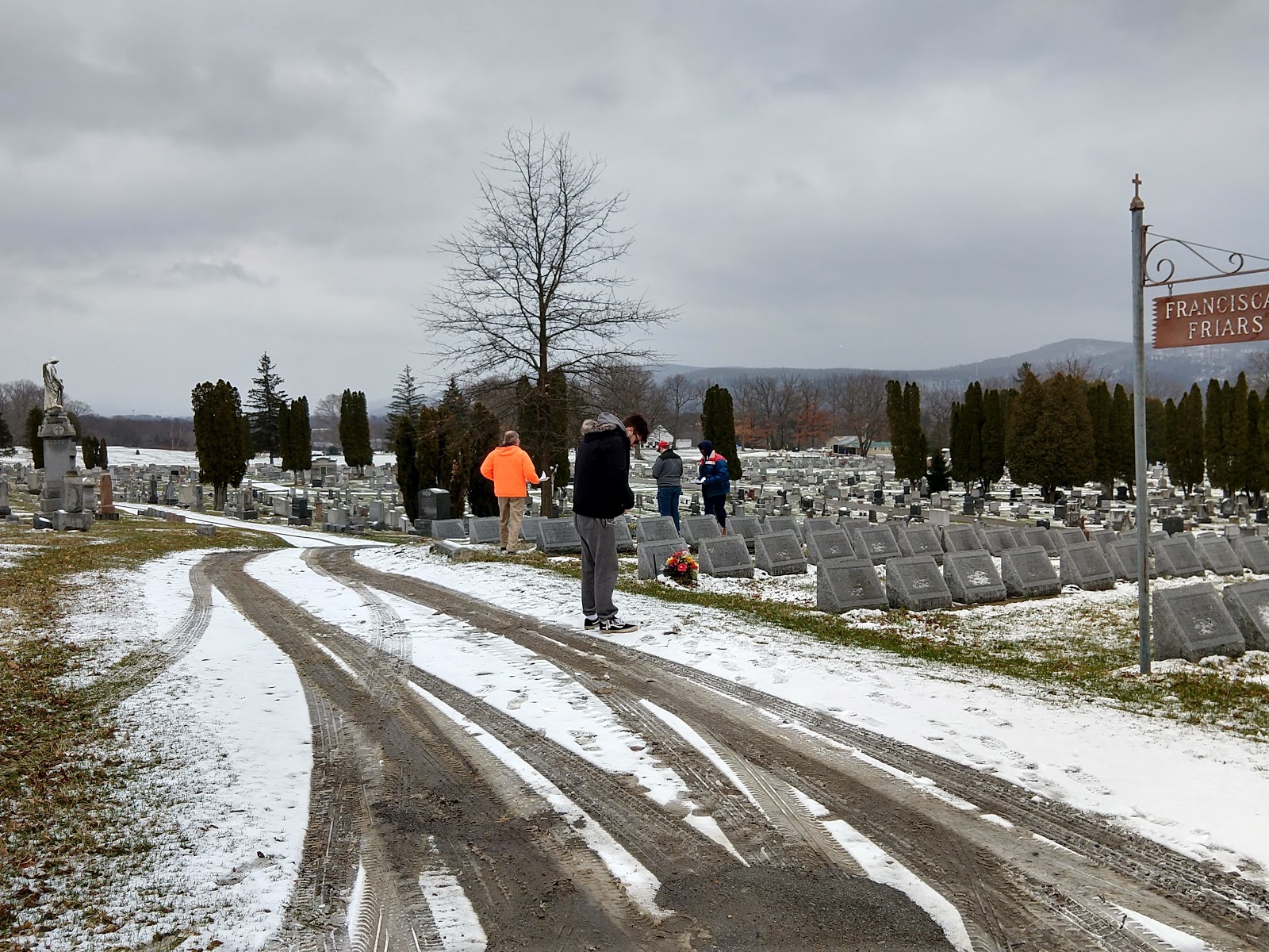
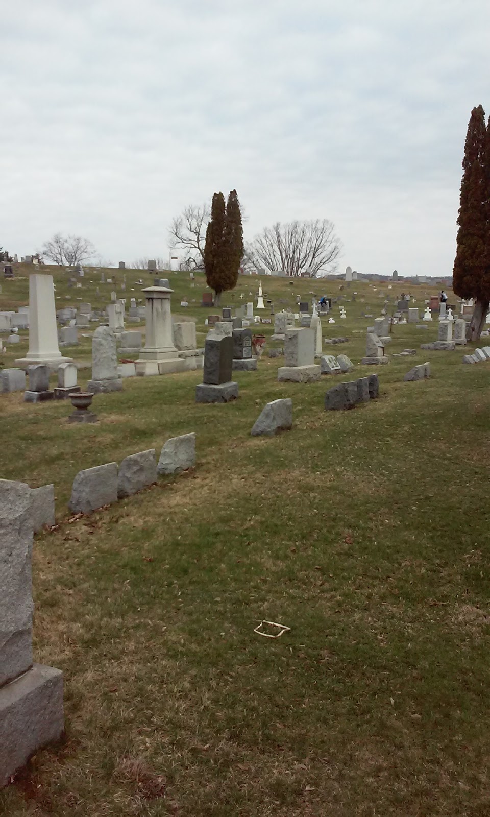
 A great deal of the work is done in the computer lab and in the archives, but we do need to spend some time in the field collecting coordinates and pictures.
 It hasn't been a good stretch for walking around the cemetery.  Still, we finally decided to go for it.  It was cold, but not terribly cold, and the rain/wintery mix held off for the hour we were there.

Friday, April 8, 2016

Digital History returns to Cemetery digital map project


We're back at the SBU Cemetery project.  It's a work in progress that has been somewhat hampered by the weather.  We finally got something resembling a nice day and headed up to the cemetery to plot locations.  Next week we're talking about big data, maps, and, time allowing, georeferencing.


Wednesday, February 3, 2016

Value of an Education in the Humanities


Adam Frank in "What is the Value of an Education in the Humanities," makes interesting points about this new world we live in.  Not only has the economics of higher education changed, but we've reached a point where separating the humanities from technology isn't wise.  He writes:
"The point: The old barriers between the humanities and technology are falling. Historians now use big data techniques to ask their human-centered questions. Engineers use the same methods — but with an emphasis on human interfaces — to answer their own technology-oriented questions."  As you read the article he lists technologies, including GIS, that every student should know how to use.  

Wednesday, November 4, 2015

Digital History

Next semester we're offering the History 419:  Digital History and Archival Practices.  We'll continue our work creating a digital map of the Bonaventure cemetery.

Monday, January 12, 2015

St Bonaventure Cemetery Map Unveiled


Roll the drums!  Pull back the curtain!

As documented on elsewhere on this blog, starting last spring students enrolled in History 419:  Digital History and Archival Practices began the process of creating an interactive map of the St. Bonaventure Cemetery.  Dennis and I were introducing GIS into the history curriculum.  Mistakes were made.  False starts?  Yes.  However, these provided valuable learning opportunities and they could all be fixed.  Jason has been working in the archives with Dennis to get the map ready, so here it is.  

St. Bonaventure Cemetery Map

This will be a ongoing process.  Students taking History 419 can plan on continuing working with GIS and the cemetery records.

Tuesday, January 6, 2015

Deep Mapping

"Stadiumville and deep maps" is a story from the Public History Commons on the use of digital technologies, archival materials and GIS for a deep mapping project.

Thursday, November 20, 2014

Dennis Frank, Jason Damon, and Phillip Payne at the Bucknell Digital Scholarship Conference


Jason Presenting
Dennis Frank, Jason Damon, and Phillip Payne presented “St. Bonaventure Cemetery: Introducing History Students to GIS” at the Bucknell Digital Scholarship Conference.  The theme of the conference was Collaborating Digitally: Engaging Students in Faculty Research.  The three discussed the rewards and challenges of introducing GIS into a class from the perspective of archivist, students, and faculty.  During the spring 2014 semester students enrolled in History 419:  Digital History and Archival Practices worked on a GIS map of the St. Bonaventure cemetery.  Jason continues to work on the project this semester for the university archives.

Wednesday, September 24, 2014

More Maps

Continuing my interest in maps and such, 22 Maps and Charts that will Surprise You is interesting.  Telling a story with images (maps, charts, etc) does change things.

Friday, August 8, 2014

USGS Maps

Continuing my interest in digital and interactive historical maps check out the USGS Maps online.

Friday, June 20, 2014

The Invasion of America

As my students know I've been on a map and GIS kick.  Some people have asked me what historians would do with GIS.  One answer can be found with the work of my students in the Digital History class where we began mapping the SBU cemetery.

I would also point you towards the story Interactive Time-Lapse Map Shows How the U. S. Took More than 1.5 Billion Acres from Native Americans in Slate's history column, The Vault.  You can visit the Invasion of America webpage directly to see more, including the original source maps that were used to make the interactive map.  Below is the video version of the map from YouTube.